01
MDO & OCC Drilling Campaigns
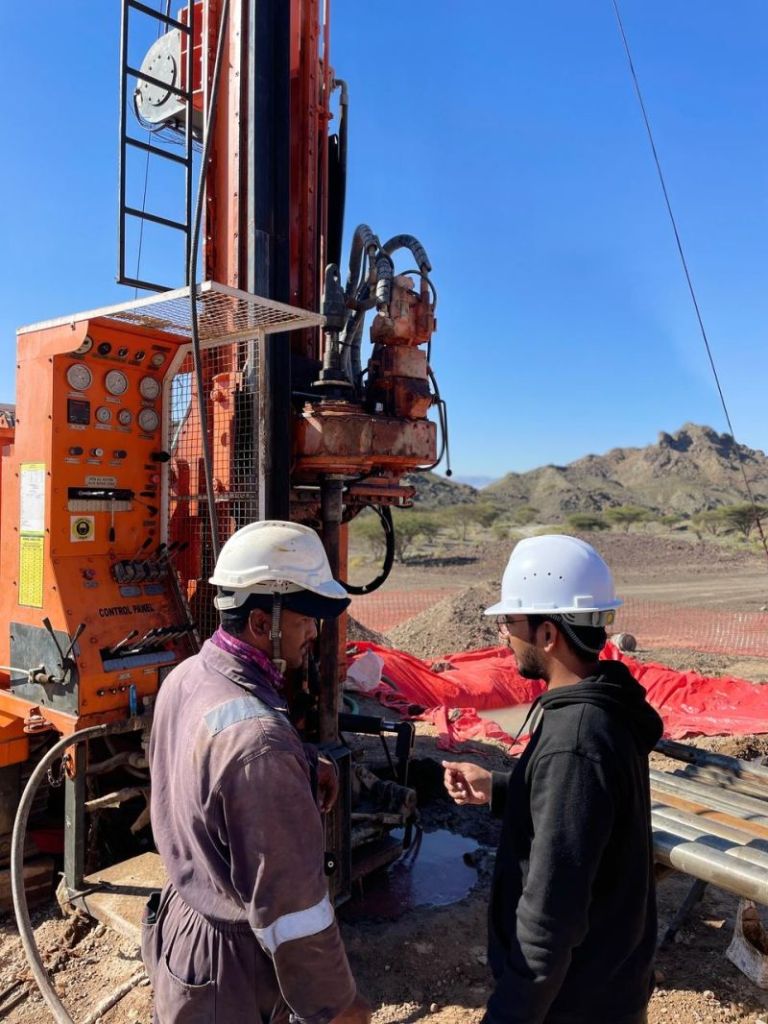
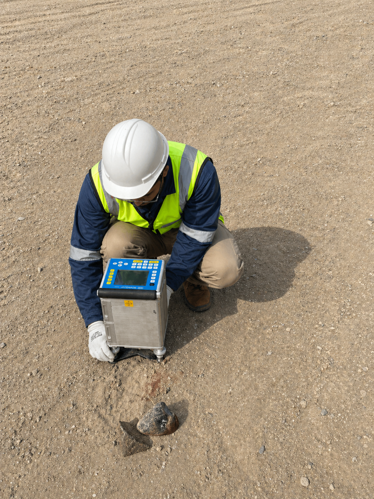
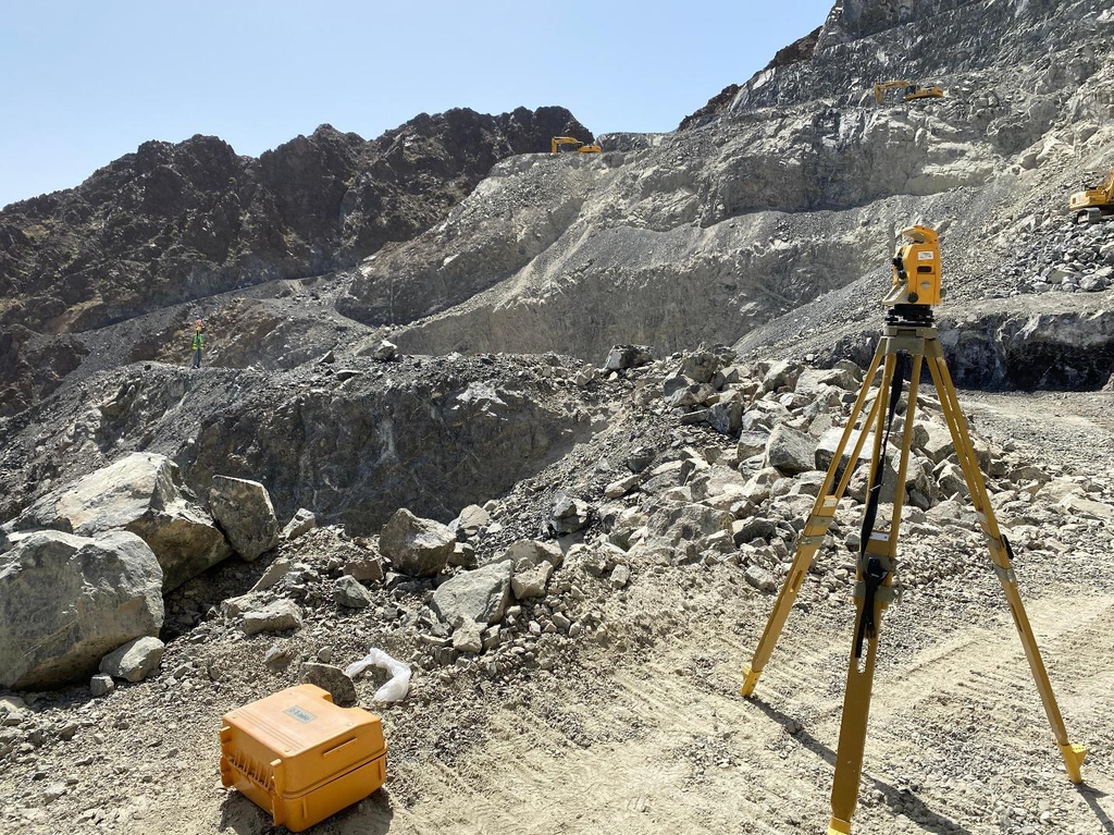
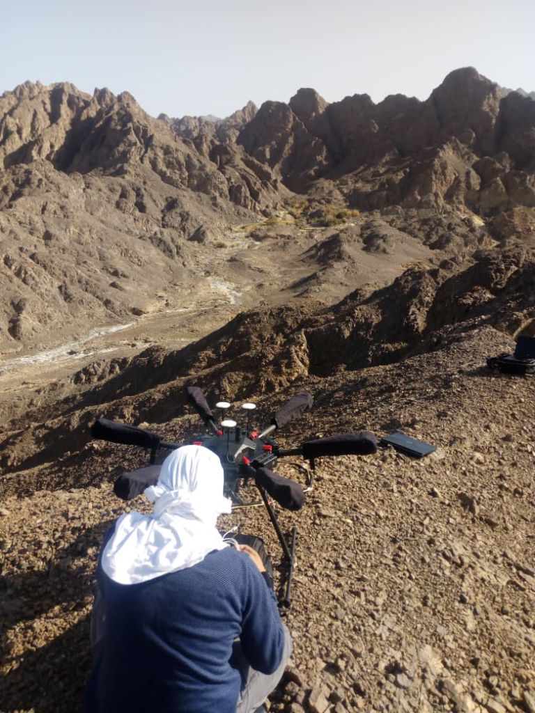
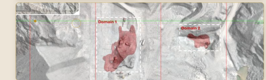
Core drilling and geological investigation for mineral resource definition across multiple sites in Oman.
Muscat, Sultanate of Oman · Est. 2016
For Geological Consultancy LLC
"Unlocking Earth's Potential"
About Us
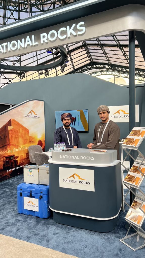
Mining & InfrastructureFounded in 2016 in Muscat, National Rocks for Geological Consultancy LLC has established itself as a leading service partner to the mining, civil, and infrastructure sectors across the GCC region.
Our team covers the full landscape of mineral exploration — from Omani white marble to rich deposits of copper and chromite. We deliver high-end technical services including MagUAV surveys, geological mapping, gravity surveys, ERT, and precision drilling.
"We aspire to stand at the forefront of innovation, setting new standards in geophysics and geology by consistently pushing boundaries and harnessing cutting-edge technologies."
To deliver integrated geological, geophysical, drilling, and survey services that empower mining, civil, and infrastructure clients across the GCC — through precision, partnership, and technical excellence.
Transparent, reliable results delivered on time and with integrity on every project.
Deep partnership with clients from survey design through final report delivery.
Every survey, every log, every report meets the highest global standards of precision.
Full-Cycle Capability
One partner. Six phases. From first reconnaissance to a bankable final report.
Satellite imagery, remote sensing and desktop studies to identify and rank mineral targets before field deployment.
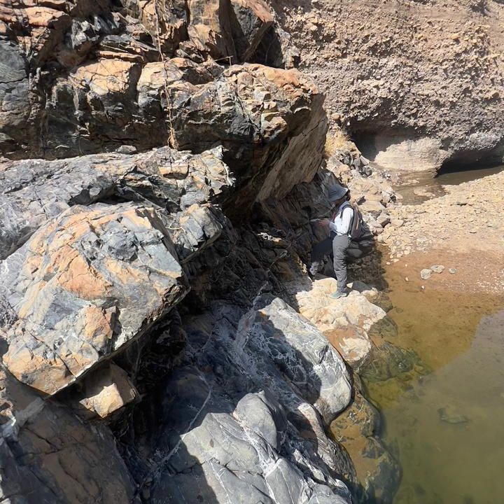
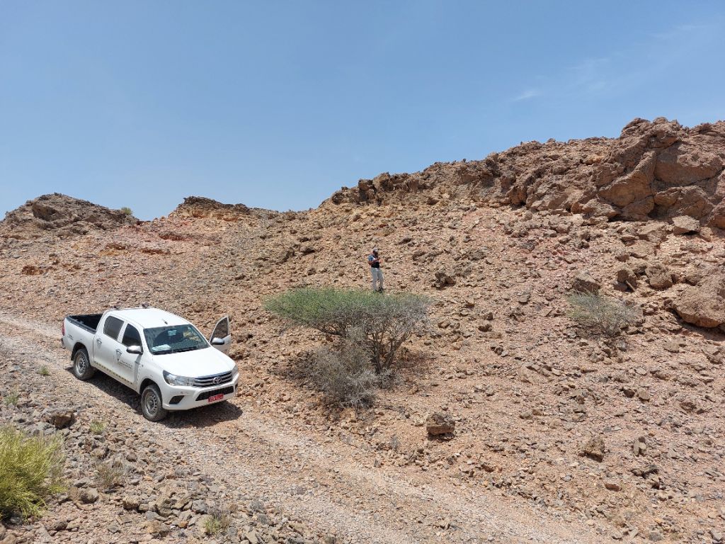
Detailed surface mapping of rock types, structures, alteration zones and mineralisation — the backbone of exploration.
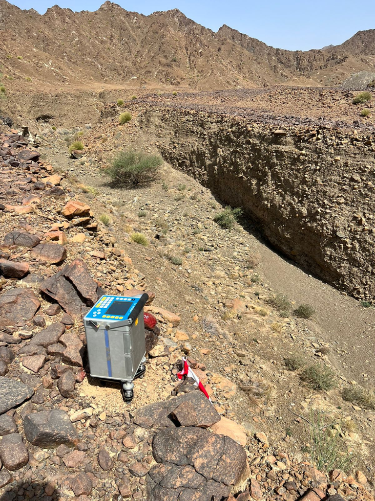
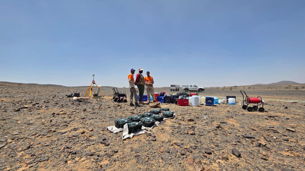
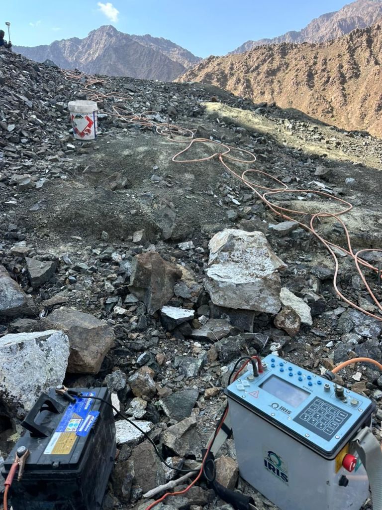
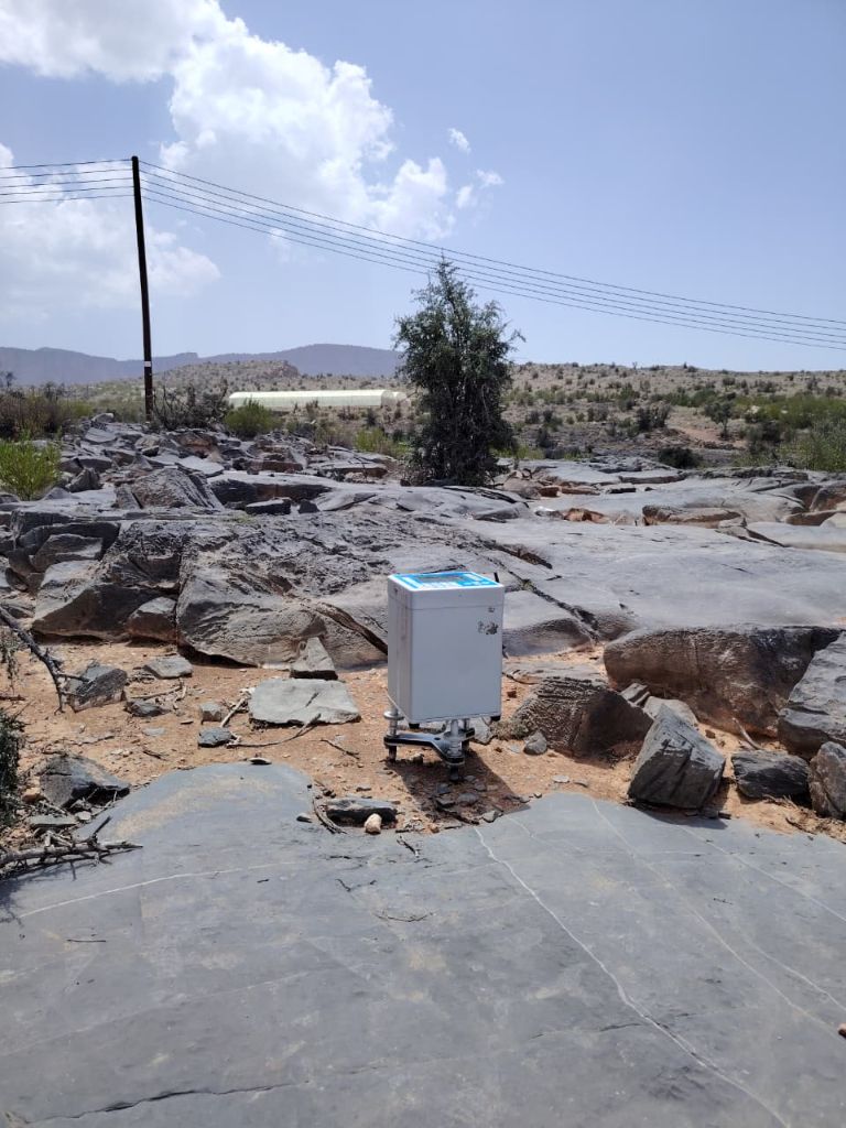
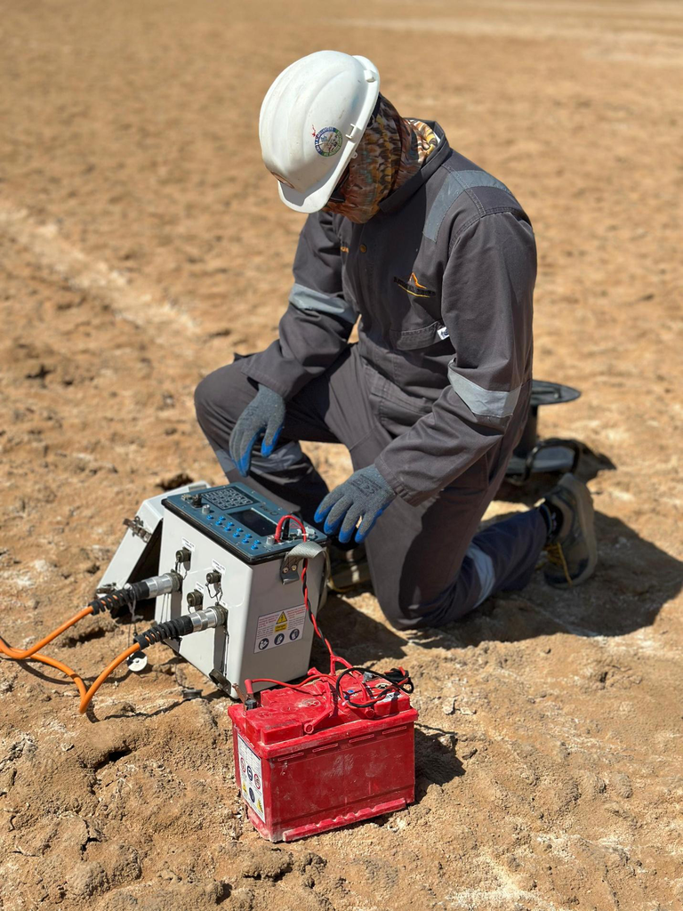
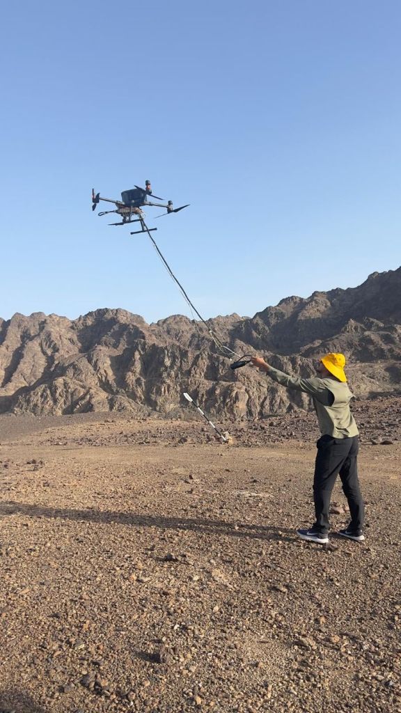
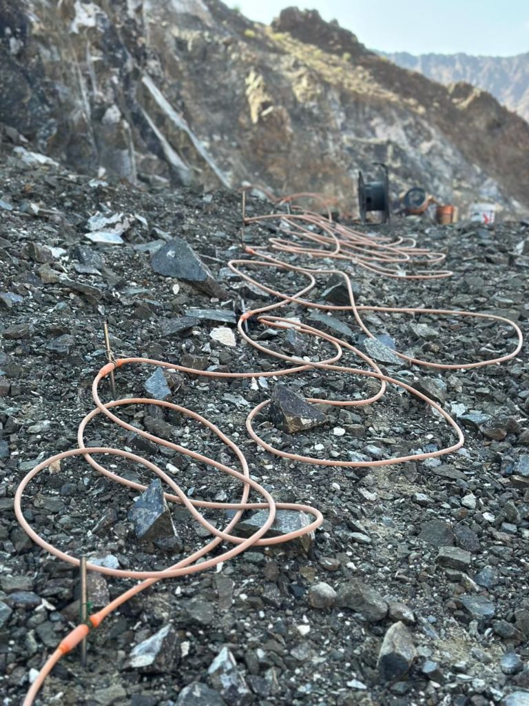
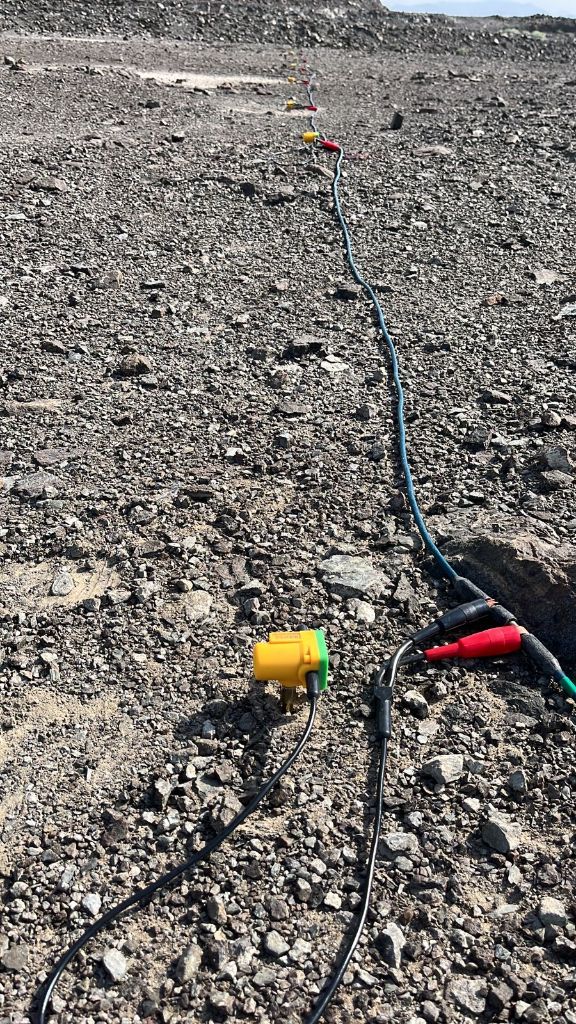
Multi-method subsurface imaging using gravity, magnetics, ERT, seismic and MagUAV drone surveys.
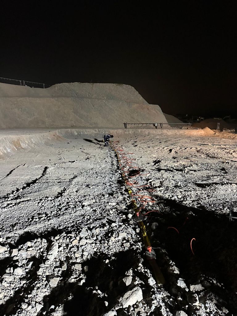
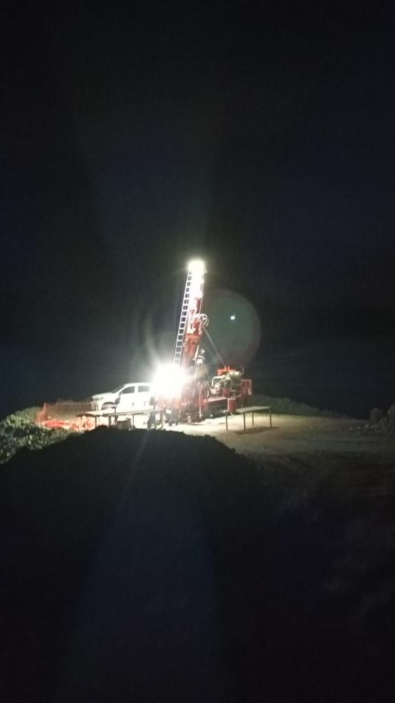
Core and RC drilling programs with systematic logging, sampling and full chain-of-custody management.
All datasets integrated into coherent 3D geological models for resource interpretation and estimation.
A complete investor-grade technical report covering methods, results, resource statement and strategic recommendations.
From first outcrop to bankable resource — National Rocks owns the entire workflow.
What We Do
Five integrated pillars of geoscientific excellence
Advanced subsurface imaging for mineral targets, geological structures, and groundwater using multiple industry-standard methods.
Expert mapping, core logging, resource estimation, and feasibility studies from first exploration through investor-grade bankable reports.
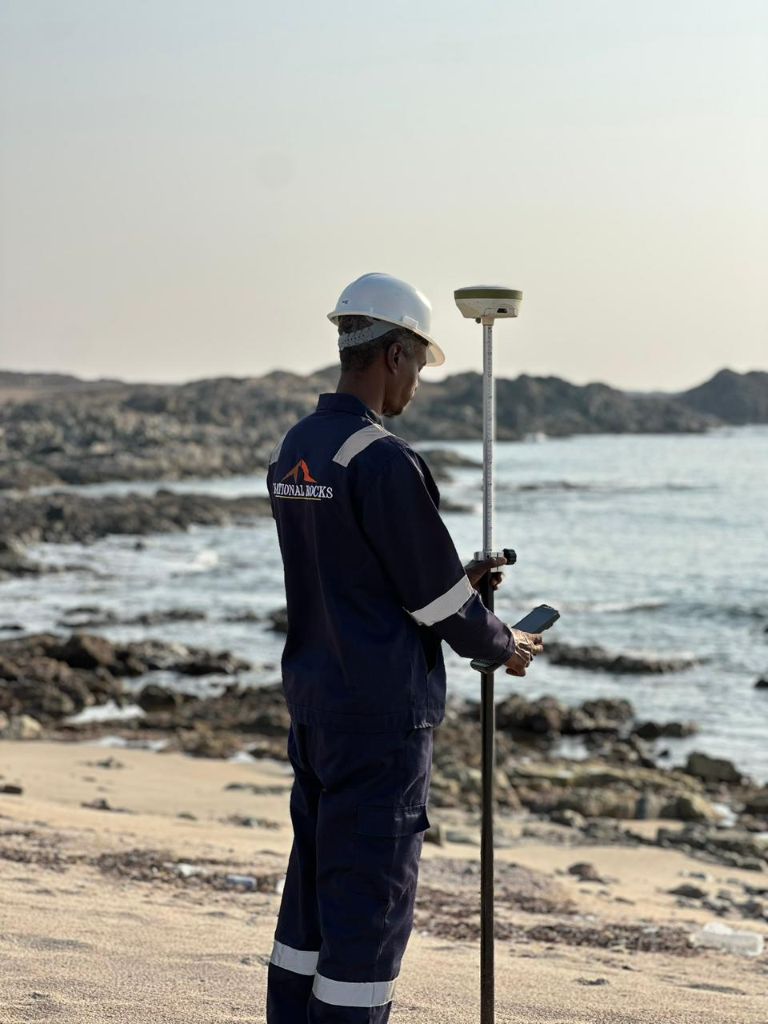
High-precision positioning and aerial mapping delivering accurate topographic models for mining, civil, and infrastructure projects.
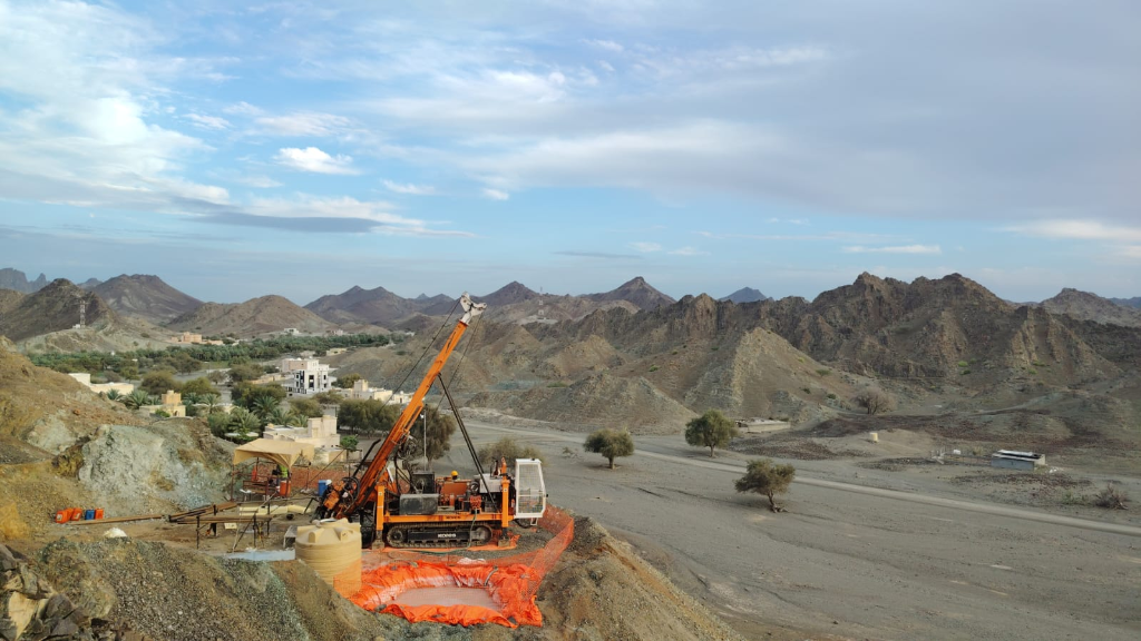
Core, RC, and geotechnical drilling programs for mineral exploration, resource definition, and geotechnical investigation on demanding terrains.
Complete operational oversight and strategic mine planning from pre-feasibility through production management and ongoing grade control.
Trusted on the most demanding geological projects across the Arabian Peninsula
Our Work
Core drilling and geological investigation for mineral resource definition across multiple sites in Oman.
High-precision geophysical survey for gold exploration at a major refinery site in Saudi Arabia.
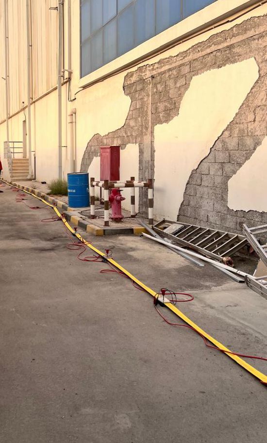
Electrical Resistivity Tomography survey for urban infrastructure development in Muscat.
Where We Work
500+ projects completed across 4 countries since 2016

Muscat Operations · Core Base
Infrastructure & Mining Exploration
Regional Projects Consultancy
Infrastructure Surveys
Field Operations
A glimpse into 500+ projects across the Arabian Peninsula — from summit surveys to night-time geophysical campaigns.

Leadership
Company Profile
Download our full corporate profile to explore our complete service catalogue, equipment specifications, project portfolio, and strategic vision.
↓ Download Company ProfileGet In Touch
We look forward to partnering with you on your next geological project
Ready to discuss your project? Reach out to our team directly and we'll respond within 24 hours.
✉ Email Us — info@national-rocks.com 📞 Call Us — +968 93999929